Small and mixed parcels
The imagery resolves 10–30 m per pixel, so a 30 m pixel covers 900 square metres. Parcels close to a few pixels across, or split between crops, get a flag and no call. A visit is still the answer there.
Crop Type Mapping classifies each parcel from the season's reflectance signature and hands you a dated crop-type layer to lay beside the claim file.
Your inspectors keep the visits. The layer tells them where a visit is worth the drive.
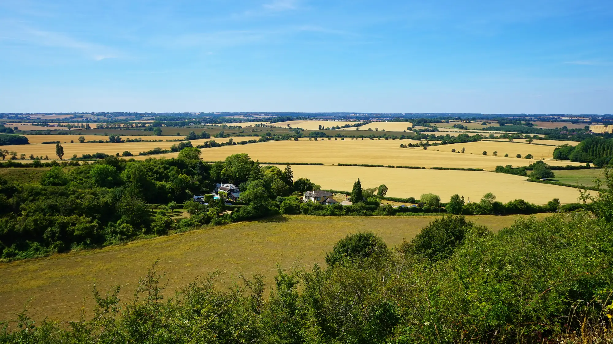
You hold a declared crop for every reference parcel on the Single Application. Checking them is another matter. A control sample gets drawn, and inspectors walk those parcels or interpret imagery at a desk, one declaration after another.
Most claims never get that look. They are matched against the LPIS and against each other, and that is the end of it. If the crop on a parcel is not what was declared, you learn about it late, in the write-up, once the season is over and payment is close.
| Step | The sample walk | With Crop Type Mapping |
|---|---|---|
| IWhich parcels get looked at | The sample walkA control sample is drawn, and only those parcels get a crop check of their own. | With Crop Type MappingEvery declared parcel carries a crop-type call, or a flag, from the season's passes. The sample can still be drawn as before. |
| IIChecking a declared crop | The sample walkAn inspector visits the parcel, or interprets imagery at a desk, one parcel at a time. | With Crop Type MappingThe layer's label sits beside the declared crop in the claim file. Where they agree you move on. Where they don't, the parcel goes on a list. |
| Still yours Deciding what a mismatch means for the claim. | ||
| IIIChoosing where to send inspectors | The sample walkThe visit list follows the draw of the sample, wherever the parcels happen to lie. | With Crop Type MappingParcels where the call and the declaration differ can go to the top of the visit list, so the drive goes where there is a question. |
| IVSmall and mixed parcels | The sample walkThe inspector walks the parcel and sees what is on it. | With Crop Type MappingParcels near the size of a few pixels get a flag rather than a guessed call, and stay on the visit list. |
| Still yours The visit itself. The layer cannot see a hedge, a split crop or a strip of a second crop. | ||
| VFeeding the control statistics | The sample walkResults come from the sample's write-ups, compiled after the checks close. | With Crop Type MappingA CSV keyed on parcel ID joins to the claim file and to the return you compile, with the capture dates and source scenes noted. |
| Still yours The return itself and the figures you put in it. | ||
One set of files per claim year, in formats your GIS section and your claim system already open.
GeoTIFF + vector
One crop-type call per declared parcel, with the capture date and the source scene noted against it. The GIS section opens it next to the LPIS.
Written note
A short read of how the season's classification went, in plain language. It says where the calls are on firm ground and where cloud or small parcels made them soft.
Ledger row IV
CSV
The same calls, one row per parcel ID, for the claim file and for control statistics.
Before the season
Your reference parcel boundaries, from the LPIS or your own file, with parcel IDs.
Through the growing season
Wide-swath multispectral passes over your parcels for the length of the growing window. Which weeks count depends on the crops and the country.
After the window closes
Each parcel is classified from how its reflectance changes across the whole season, not from a single scene.
Ahead of the payment run
The labelled layer, the CSV and the season summary, dated and sourced, for that claim year.
Read these before you lean on a call.
The imagery resolves 10–30 m per pixel, so a 30 m pixel covers 900 square metres. Parcels close to a few pixels across, or split between crops, get a flag and no call. A visit is still the answer there.
Optical imagery needs a clear view. A call is built from the season's usable passes. A season that stays cloudy over part of your area gives a softer call there, and the summary says so.
The layer is refreshed once per claim year, matching the crop's growth window. It is not a live feed and it does not tell you what is in a field this week.
The layer is not a certification and carries no legal standing. It does not decide a claim. It narrows where your inspectors need to look.
We do not publish an accuracy percentage. Check the calls against your own ground truth from the sample you already walk.
No. It is a desk layer that shows where a visit is worth making. The sample and the inspector's write-up stay as they are.
Against your own ground truth. The parcels your inspectors already visit make a fair test set. If a set of parcels looks wrong, send it back and we will go through that season's imagery with you.
The call is built from the season's usable passes, so a cloudy season gives a softer call in the affected parcels. The season summary marks them.
They are flagged, not guessed. Parcels near the size of a few pixels at 10–30 m do not get a reliable call.
Once per season. There is no daily or continuous run.
We agree the crop list with you at the start, from the classes in your declarations. Crops that look alike across the season may be grouped, and the summary says which.
There is no direct integration. You get GeoTIFF and vector files for your GIS, and a CSV keyed on parcel ID that any system reading CSV can load.
Your parcel boundaries stay yours. What you can do with the layer, and the licence on the imagery behind it, is written into the project agreement before the season is processed.
It depends on the number of parcels and the area covered, so we quote after we have seen your parcels. There is no price list on this page.
Give us your reference parcels and the claim year. We will scope the run from there.
Start a project