Catch crop vs cover crop in satellite imagery: what the reflectance signal shows
7 October 2026
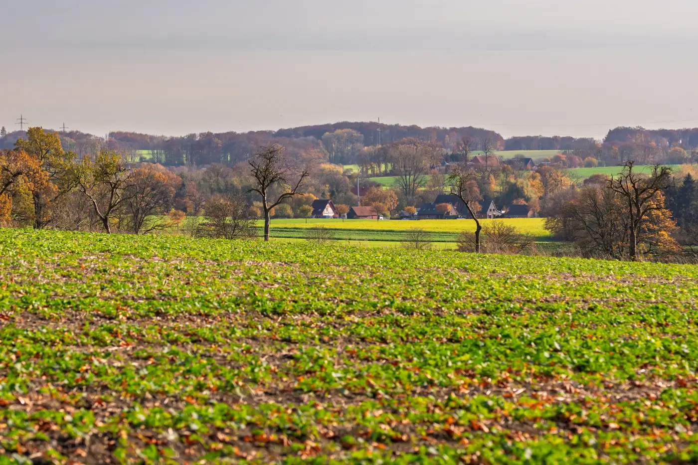
Every autumn the same file lands on the desk: a parcel declared under a catch crop code one year, a cover crop obligation the next, and no clean way to tell from the paper alone whether the farmer changed practice or just changed the box they ticked. The two terms get used almost interchangeably on the ground. On the claim file they're not the same thing, and mixing them up is one of the quieter sources of mismatch flags come control season.
Why the two codes aren't interchangeable
A catch crop, under most GAEC and EFA definitions, is sown in a defined window after the main crop comes off, specifically to take up residual nitrogen before it leaches over winter. It's usually short-lived, often a single species or a simple mix, and the obligation is tied to a sowing deadline and a minimum establishment period rather than to the crop surviving all the way to spring.
A cover crop obligation, particularly under an eco-scheme or CAP greening measure, tends to run longer and carry its own species-mix rules, sometimes a minimum number of species in the seed mix, sometimes a minimum ground-cover percentage at a named date. Some paying agencies also expect the cover crop to persist later into winter than a catch crop would.
So two parcels can look identical in a drone photo in November and still be compliant or non-compliant depending on which obligation they were declared against, what the sowing date was supposed to be, and how long the cover has to stay in. That's a timing and duration question before it's ever a vegetation question, and it's exactly the kind of thing a single site visit in December can't reconstruct.
What the reflectance signature can confirm, and what it can't
Here's where satellite imagery earns its place in the file and where it doesn't. A seasonal reflectance signature, built from repeated wide-swath passes across the growing season, can show you when a parcel went from bare soil to green cover, and roughly how long that cover held before it was worked in or died back. That's a genuine proxy for the sowing window and the persistence period both catch crop and cover crop rules hinge on.
What it can't do is call the species mix. A reflectance curve doesn't distinguish phacelia from mustard from a five-species cover crop blend, and it won't confirm a seed-mix percentage requirement on its own. If a cover crop rule demands a minimum of three species sown at specific rates, the satellite signal tells you something green was growing in that window. It doesn't tell you the agronomist's invoice matches.
What it does well is flag the parcels where the timing doesn't fit the declaration at all: a catch crop code on a parcel that was still bare soil three weeks after the sowing deadline, or a cover crop declaration where the green-up curve stops dead a month before the required persistence date. Those are the files worth pulling before the sample-plot walk, not after it.
A parcel-level crop-type layer that sits next to the claim file gives every declared parcel one dated, sourced crop-type call built from that seasonal signature, so the mismatch between declared code and actual field behavior shows up before the walk list gets drawn up, not during it.
If you're working through this year's catch crop and cover crop declarations against a stack of site visits you can't fully staff, it's worth seeing what a parcel-level call looks like against your own file.