Field notes: the first season we stopped walking sample plots
2 November 2026
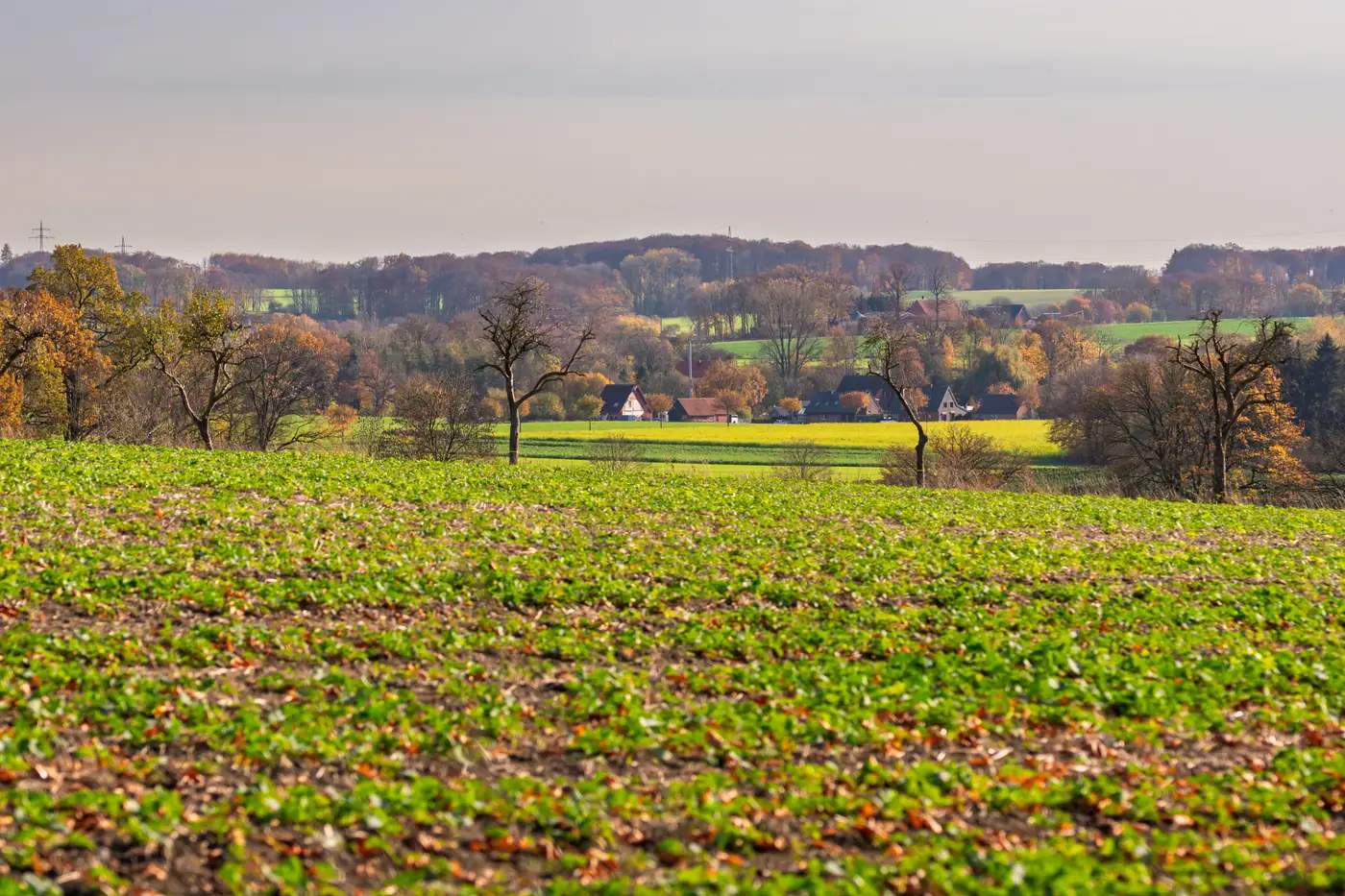
I kept my boots in the office this year. Not out of laziness. The sample-plot route I'd walked every September for eleven years just didn't get walked.
For the record, I'm not against walking fields. You learn things on a plot you don't learn anywhere else: whether that strip of maize along the drainage ditch is actually maize or whether someone's declared a cover crop as something it isn't. A boot in the mud tells you about soil compaction, lodging, a field that's been grazed down hard. None of that disappears just because a parcel-level layer lands in your inbox instead.
What disappeared was the part of the job that never needed a human eye in the first place. Every June through August for over a decade, a chunk of the team's time went to confirming crop type on parcels that, frankly, weren't in question. A field of winter wheat looks like winter wheat from April onward. You don't need to stand in it to know that. But the sample-plot protocol didn't distinguish between the obvious cases and the genuinely uncertain ones, so everything got walked, logged, and filed the same way.
This was the first season we ran the declared-crop check with a parcel-level crop-type call sitting next to each claim file instead. One call per parcel, dated, sourced from the reflectance signature the crop threw off across the growing season. No guessing which week the photo was taken or whose phone took it. The call is built from the whole season's pattern, not a single pass.
What struck me, going through the backlog in October, was how much the exceptions sorted themselves out. A parcel declared as sunflower that read like fallow ground for three months straight didn't need an inspector to flag it as worth a second look. The signature did that on its own. That's where the walking still happens, and should. You send someone out when the call and the declaration disagree, not as a default.
The thing I had to get used to was trusting a layer I couldn't argue with over a beer at the regional office. For years, the sample-plot numbers were something you could poke holes in around the edges: weather on the day, who did the walk, how tired they were by plot forty. A seasonal reflectance call doesn't have those excuses built in, which also means it doesn't have them as cover when something looks off. You either believe the signature or you go check it. There's less room to shrug.
I won't pretend the season went without friction. Field boundaries that had shifted since the last digitization caused a few mismatches that took longer to sort than they should have. And a handful of mixed parcels, where two crops share a field in a way that never shows up cleanly on a declaration form, still needed someone to go stand there. A mixed parcel is just going to need that kind of attention, layer or no layer.
But the bulk of the file, the parcels where the crop is what the farmer says it is, went through without anyone driving a gravel road to confirm it. The crop-type layer we're running against sits in the claim file now the way the walk report used to, except it covers every declared parcel, not the sample.
Next season I expect the exception list to be shorter, if I've learned anything from this one. For now, if you're still scheduling the walk, it might be worth seeing what a parcel-level call looks like sitting next to your claim files instead.