Documenting a crop-type mismatch during the declared-crop check
13 October 2026
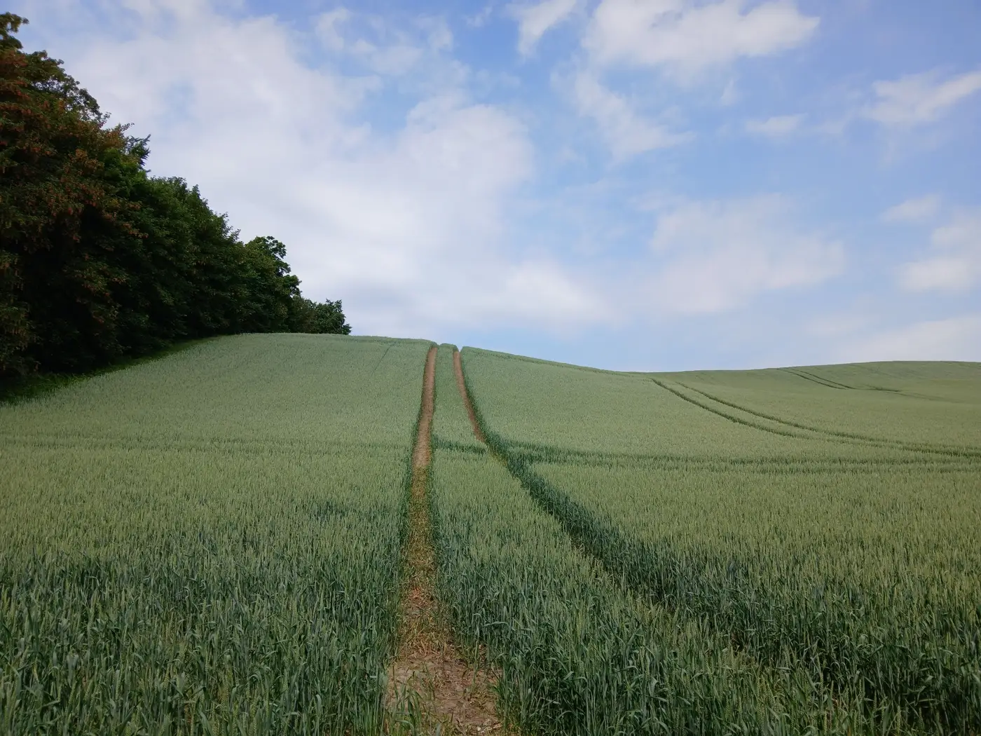
When you walk up to a parcel that doesn't match the declaration, the instinct is to write "crop does not match claim" and move on. That line won't survive an appeal. The control report needs to show what was declared, what was observed, when, and how you know it.
Start with the parcel ID and the declared crop code from the claim file, copied exactly as it appears on the application, not paraphrased. Record what's actually growing by common name and growth stage: a discrepancy between durum wheat and feed barley reads very differently from a parcel sown to oilseed rape that was declared as fallow.
Photograph the discrepancy from at least two angles. One close enough to identify the crop, one wide enough to place it against a visible parcel boundary, a track, a hedge line, anything that ties the image to the parcel on the ground. Timestamp and geotag both. If your camera or tablet doesn't embed that data automatically, note the coordinates by hand and cross-check them against the parcel geometry before you leave the field.
Evidence an appeal board will actually accept
An appeal board doesn't care that you remember the field. It cares whether the finding is reproducible by someone who wasn't there. That means:
- The declared crop code and the observed crop, stated plainly, side by side
- Date and time of the visit
- GPS coordinates or a grid reference tied to the parcel boundary
- At least two photos, each timestamped and geotagged
- A note on growth stage, since a discrepancy flagged in May reads differently than one flagged at harvest
- Your signature and, where the inspection body requires it, a second inspector's sign-off
Where this gets slow is the walk itself. A ten-hectare block sown wall to wall in one crop takes a minute to confirm. A parcel with a mixed stand, a late-planted catch crop, or a boundary that's drifted from the declared geometry takes a lot longer, and that's exactly where discrepancies cluster. Run that same walk across a claim file with several thousand parcels and the sample-plot visit becomes the bottleneck long before the paperwork does.
A dated crop-type call before the field visit
Some agencies now start the field visit with a crop-type call already sitting in the file, built from the parcel's seasonal reflectance signature rather than from a single site visit. That doesn't replace the physical check. It gives inspectors a second, independent read to weigh the field observation against before writing up the discrepancy. If the seasonal call and the field observation agree, the case closes faster. If they disagree, the report now has two independent sources to reconcile instead of one inspector's word against a declaration.
Crop Type Mapping builds that layer once per season from wide-swath multispectral passes and hands over a parcel-level crop-type call, dated and sourced, that sits next to the claim file instead of in a separate system you have to cross-reference by hand.
Whatever format your agency uses, keep the write-up factual and chronological: declared crop, observed crop, date, coordinates, photos, growth stage, and a one-line note on how the discrepancy affects the aid calculation. Interpretation of intent belongs to the decision stage, not the field write-up. At the parcel, your job is to document what's there.
Get that right the first time and it holds up at the next audit, not just the current one. If you're building these reports across a full declared-crop campaign, it's worth seeing what a season's worth of dated crop-type calls looks like before the walks even start.