How to verify a crop diversification requirement with satellite imagery
14 October 2026
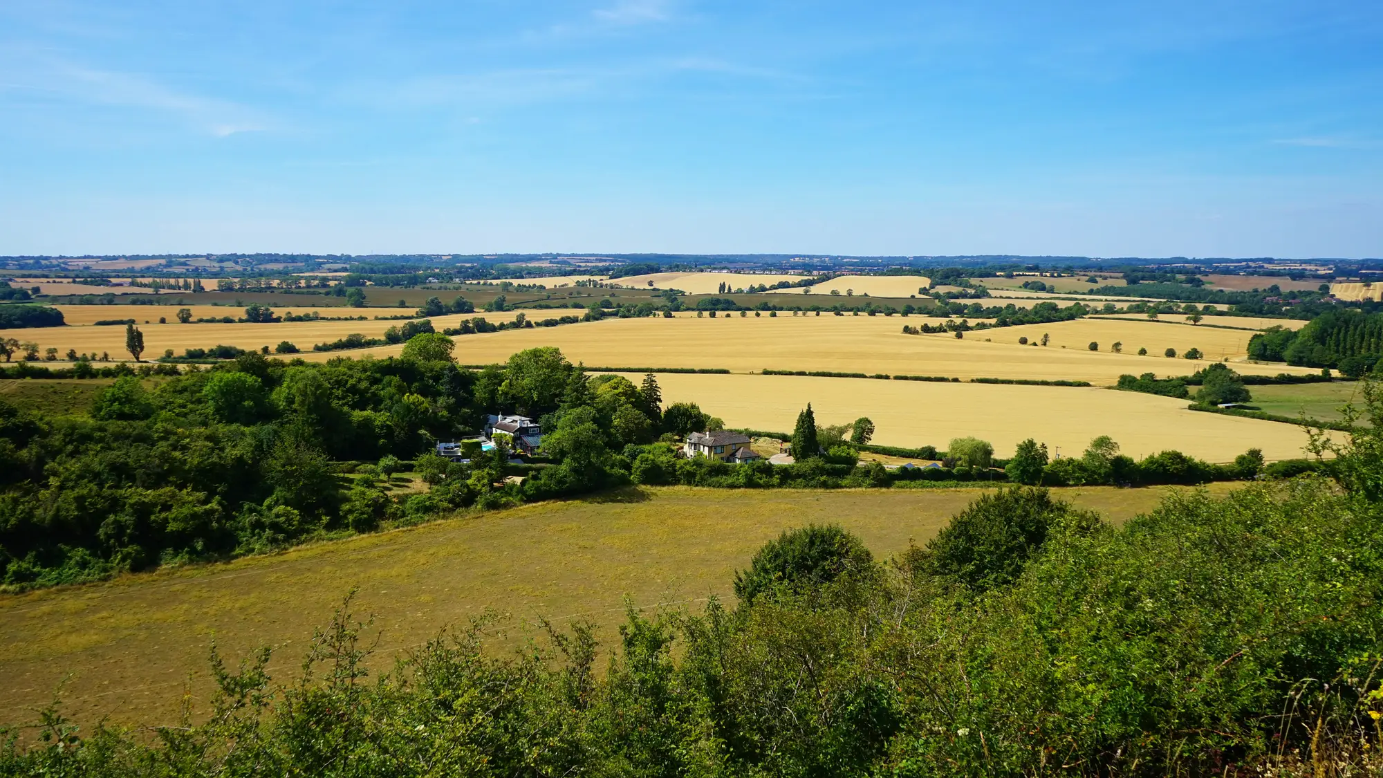
The diversification obligation sounds simple on paper. A holding with arable land over the threshold has to grow a minimum number of crops, and no single crop can cover more than its allowed share of the arable area. In practice, checking it means cross-referencing hundreds or thousands of declared parcels against what's growing in the field, and doing it before the claim window closes.
What the three-crop rule actually asks you to check
Under the CAP greening rules, a holding with between 10 and 30 hectares of arable land needs at least two crops, with the main crop capped at 75% of that arable area. Above 30 hectares, it's three crops, same 75% cap on the main crop, and the two biggest crops together can't exceed 95%. Permanent grassland and fallow sit outside the arable count, which is its own source of disputes at appeal.
The obligation lives at the holding level, but the evidence has to come from the parcel level. You can't sign off on "three crops" without knowing, parcel by parcel, what's declared and what's actually in the ground. That's the gap a sample-plot walk was built to close, and it's also the gap satellite verification closes faster.
Running the check against imagery instead of a visit list
A seasonal reflectance signature gives each parcel a crop-type call for the growing season, not a single snapshot. Wheat, maize, oilseed rape, and grass legumes reflect light differently as they develop, so a parcel's signal across the season reads differently even when two crops look similar from the road in July. That's what lets a diversification obligation check run off imagery instead of a visit list.
The practical workflow looks like this:
- Pull the declared crop code and parcel boundary for every holding above the arable threshold from the claim file.
- Match each parcel against its imagery-derived crop-type call for the same season.
- Flag any parcel where the declared code and the imagery call disagree.
- Recalculate the holding's crop count and area shares using the corrected crop types, not the as-declared ones.
- Route the flagged parcels to whatever follow-up your agency already runs for discrepancies, whether that's a targeted site visit or a request for supporting evidence from the claimant.
Steps 1 through 4 are where imagery earns its place. A field officer doesn't need to walk every parcel to find the ones worth walking. The imagery does the first pass and narrows the list to the parcels where the declared crop and the observed crop don't match.
Where this fits in a greening diversification compliance workflow
The sample-plot visit still has a role in the cycle. Imagery handles the first pass and stops inspectors being sent to parcels that already match. A parcel-level crop-type layer built this way sits next to the claim file as supporting evidence: dated, sourced, and exportable to the same formats your GIS team already works in, so it slots into the audit trail rather than sitting outside it.
One thing worth flagging for anyone building this into an annual cycle: the crop-type call is a season snapshot, not a running feed. If your compliance calendar needs a mid-season check as well as a final one, you'll want two passes scheduled, not one layer stretched to cover both.
Get in touch if you want to see how a seasonal crop-type layer would slot into this year's diversification check.