How to verify a second-crop declaration from a single satellite pass
26 October 2026
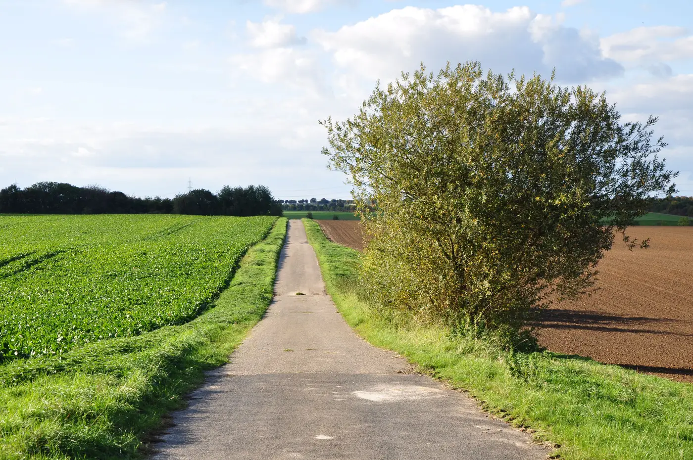
A farmer declares winter wheat, harvested in July, followed by a second crop of sunflower drilled in August. The claim file needs something to back that up before the eco-scheme payment or the greening requirement gets signed off. Someone on your team pulls one image from mid-September and looks at it. Green canopy, decent NDVI. Case closed?
Not quite. One pass tells you what's growing on that parcel on the day the shutter went off. It doesn't tell you whether that canopy is a genuine second crop sown after a harvested first crop, or a catch crop planted to meet a cover requirement, or the same crop that was there in May just looking different because of a late-season flush of rain. All three can produce a similar-looking signature on a single date. The distinction that matters for the declaration, timing of establishment relative to the first crop's harvest, isn't visible in a snapshot.
What one image can and can't rule out
A single pass is good for presence and absence. It can confirm there's vegetation on a parcel declared as fallow, or flag a parcel declared as cropped that's bare soil. That's useful for a straightforward mismatch.
It can't confirm sequence. A second-crop claim and a catch-crop claim both describe vegetation present in autumn. The CAP distinction between the two hinges on what happened earlier in the season and what obligation the farmer is meeting, cash crop income versus a soil-cover requirement. Reading that off a parcel means comparing the reflectance signature at several points across the season: bare or stubble after the first crop's harvest, then a rise as the second planting establishes, then a canopy curve that behaves like the declared species rather than a cover mix. One date in that sequence, taken alone, is ambiguous. The sequence is what carries the evidence.
Building the record instead of reading one frame
In practice this means working from a season's worth of wide-swath passes for the parcel, not hunting for the one perfect cloud-free image near the declaration deadline. You want the harvest gap to show up as a drop in signal, the second planting to show up as a rise, and the growth curve that follows to match the shape a sunflower, maize, or forage crop takes at that point in the calendar, as distinct from a shorter catch-crop cover that gets terminated or grazed off before it ever fruits.
That's also why a crop-type call is worth dating. An auditor or a farmer contesting a mismatch will ask when the call was made and from what. A call built from one frame invites exactly that challenge. A call built from the parcel's seasonal signature, with the dates it's drawn from on record, holds up better when someone pushes back on it.
What to put next to the claim
For the file itself, you want a parcel-level output you can sit next to the declaration: one crop-type call per parcel, dated, with the source passes behind it, in a format your GIS and your claim system both read without a conversion step. That's the shape of layer Crop Type Mapping builds, a parcel-level crop-type call in GeoTIFF and vector, exportable to CSV, refreshed once per season rather than streamed continuously, so it lines up with when your declaration window closes, rather than producing a new number every few days nobody asked for.
If your team is still pulling single frames to settle second-crop questions parcel by parcel, it's worth seeing what a seasonal call looks like against your own declared-crop list.